August 20, 2026
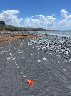
How much marine debris is along our nation’s shorelines, and how is it changing over time? From Alaska to the Caribbean, scientists are surveying hundreds of shorelines to better understand marine debris across the United States and its territories. In 2024, the NOAA Marine Debris Program launched the NOAA Marine Debris Monitoring and Assessment Project Nationwide Survey, a shoreline survey effort spanning 620 sites in 10 pre-defined regions incorporating every U.S. coastal state and inhabited territory. The results will provide information to help communities identify debris hotspots, target cleanup and prevention efforts, and track changes in the amounts, types, and distribution of marine debris. With the first year of field surveys well underway and a second year planned, here is an update on what’s happening and how you can follow along.
Read the full post on NOAA's Marine Debris Blog
Marine Debris Program | Office of Response & Restoration | National Ocean Service | NOAA
|