
END-OF-YEAR SALE! 6 Months for 99¢Limited-time offer: Gain digital access — from now into 2026. Sale Ends Dec. 28 |
The winter solstice on Sunday marked the start of winter. What does it mean?
Although the high temperature of 83 degrees at Bush Intercontinental Airport would have you think otherwise, Sunday marked the traditional first day of winter in Houston with the arrival of the winter solstice.
Our seasons come from the Earth spinning on an axis that has a roughly 23-degree tilt. For half of the Earth’s orbit around the sun, the Northern Hemisphere (where Texas is) is tilted toward the sun and experiences warmer temperatures and more daylight. For the other half of that orbit, the northern half of the planet is tilted away from the sun and we experience colder temperatures and receive less time in the sun.
This year, the Earth was tilted the farthest away from the sun during its entire orbit at 9:03 a.m. Sunday, the moment of the winter solstice. Now and for the next six months, we will start tilting back toward the sun. Then in June, we will reach the summer solstice, or when the northern half of the planet is tilted the most toward the sun.
You can get weather forecast updates on your mobile phone to catch up on warming trends and other seasonal changes. Plus, links now open instantly in our mobile app, so for faster load times and a cleaner user experience, download or update the app here: iPhone | Android.
 | Justin Ballard, Meteorologist |
Justin's Five Day Fit Check
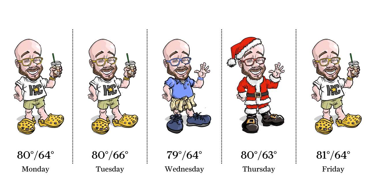
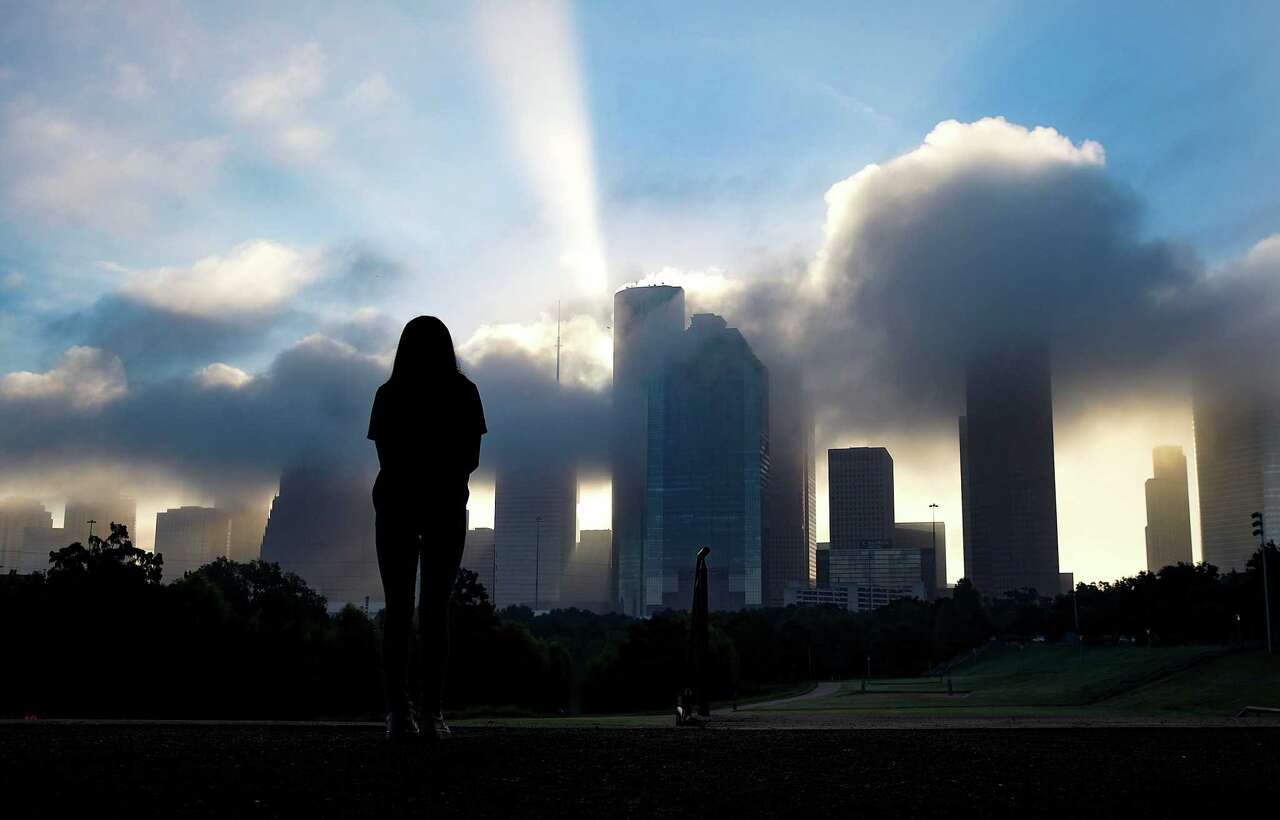
Photo by: Ken Ellis
Morning fog is possible in Southeast Texas each day this week, especially along the coast. Commuters should be prepared for road visibility to drop to a quarter-mile or less at times as far inland as north of Houston. Aside from morning fog, the Christmas week forecast is all about how ho-ho-hot it could get. Temperatures each day will be in the upper 70s with mornings generally starting in the lower to mid-60s.
| Ask a Meteorologist |
Why has it been so foggy lately? Is this normal? — Henry B.
To answer your second question first: Yes, this kind of fog is a perfectly normal occurrence during the cooler months. Winter is particularly favorable for fog development because shallow coastal waters cool faster than the air above them.
While Houston’s recent warmth has slowed cooling over land, sea temperatures in Galveston Bay and nearby continental shelf waters have dropped into the 60s. At the same time, much warmer, humid air continues to move in from the Gulf of Mexico. That temperature contrast allows the air near the surface to become saturated with water vapor, often leading to persistent “sea fog” in the morning.
This foggy stretch may continue in the short term, with patchy to locally dense morning fog possible.
Improvement will depend largely on wind speeds and water temperatures. Stronger overnight winds or gradually warming coastal waters would reduce fog potential as winter transitions toward spring.
Do you have a Houston weather or climate question? If so, you can submit your weather questions to justin.ballard@houstonchronicle.com. They may just end up in a future edition of the weather newsletter.
Something to see
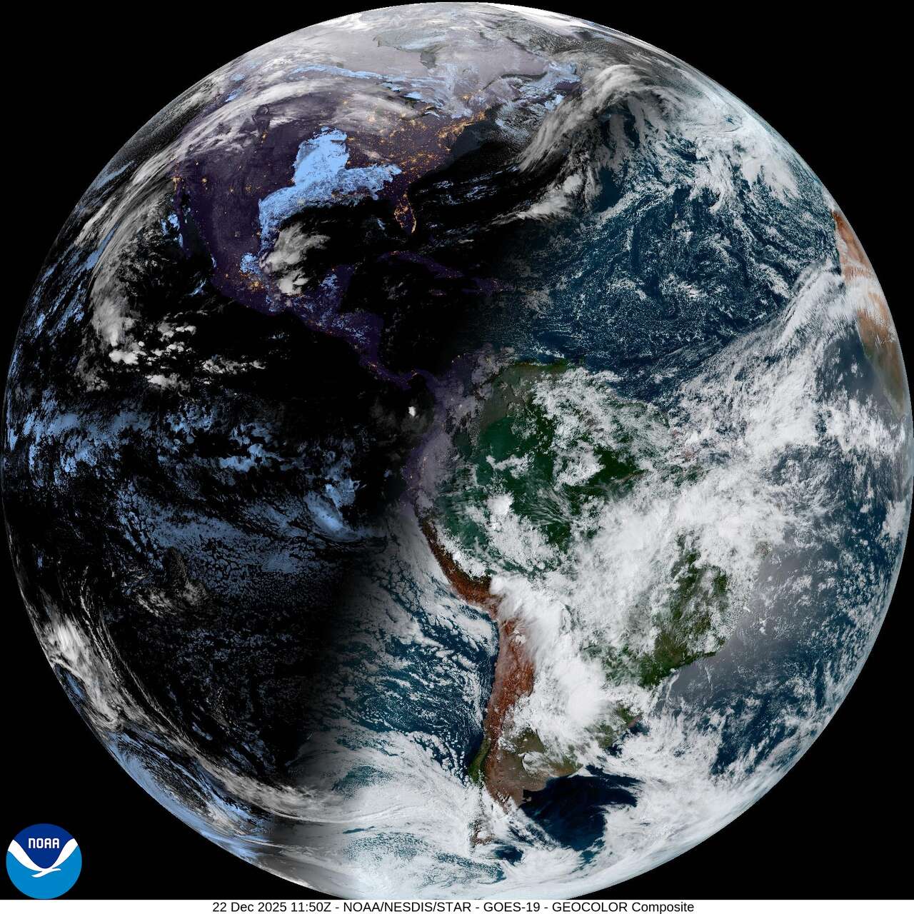
Photo by: Geostationary Operational Environmental Satellites, CIRA And NOAA
This weather satellite photo of the Earth was taken Monday morning, a day after the winter solstice occurred on Dec. 21. The 23-degree tilt of the Earth is corrected in the photo so that the equator is horizontal. During the winter solstice in the Northern Hemisphere, the North Pole is tilted the farthest away from the sun. That’s why the shadow seen here on Earth is angled so sharply across the Northern Hemisphere and why the Southern Hemisphere is so illuminated.
Texas Weather Wonks Trivia
Temperatures on Christmas Day in Houston could be in the upper 70s this year. But what is the coldest high temperature ever record in Houston on Dec. 25?
A) 11 degrees
B) 27 degrees
C) 28 degrees
D) 37 degrees
Hit reply to this email to let us know what your guess is and a chance to win. We’ll let you know who answered correctly first in next week’s newsletter.
Here’s the correct answer to last week’s weather trivia question: When in 1989 did Houston’s earliest freeze on record occur? B) Oct. 20
Other weather news
|
|
|

|
Meet the Team
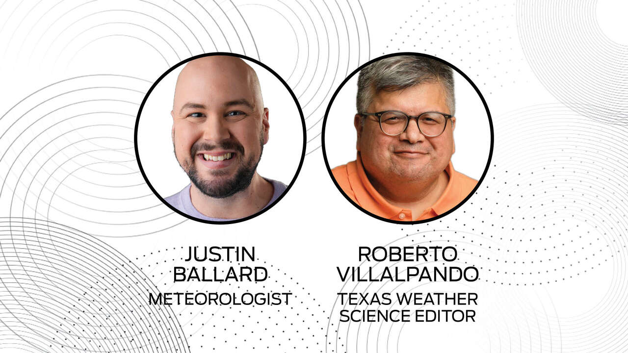
Photo by: Susan Barber
The 713 Weather Radar newsletter is written and produced by meteorologist Justin Ballard and Texas Weather Science Editor Roberto Villalpando. You can reach out to them at justin.ballard@houstonchronicle.com and roberto.villalpando@houstonchronicle.com or by replying directly to this email.
|