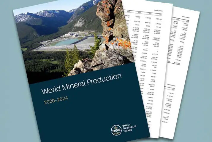
Since 1913, BGS and its predecessor organisations have complied annual production and trade statistics on a wide range of mineral commodities. In the latest volume, World Mineral Production 2020–2024, BGS sets out the production figures by country for more than 70 mineral commodities over the five-year period from 2020 to 2024. The new volume also includes a ‘treemap’ visualisation for the first time, showing the global quantity of metals and ores produced in 2024.
|
|
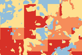
Shrink-swell subsidence is already one of the costliest and most widespread geohazards in Britain and is projected to worsen with climate change. The new product features three RCP climate projections and three future time horizons (2030s, 2050s, 2070s). The dataset has been designed to help a wide range of stakeholders mitigate the risk posed by shrink swell subsidence specific to their region.
|
|
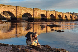
Nearly a century on from the last geological survey of the Berwick-upon-Tweed area, the Environment Agent (EA) commissioned BGS to review the geological map of the area to inform a new groundwater flow model of the Fell Sandstone Formation. This work was needed to improve understanding of the regional groundwater system, strengthen the evidence base for water security and support key decisions in the abstraction licensing strategy.
|
|
|
In other news

BGS contributes to UN sand and sustainability report
Sand is the most extracted solid material on Earth, with demand expected to rise by 45 per cent by 2060. With extraction now occurring faster than the rate of natural replenishment, the sheer scale of mining operations in many parts of the world has considerable, cumulative, negative environmental effects if it is not carefully managed. BGS has contributed to a new UN report which highlights the impact of poor governance and unsustainable sand mining practices, calling on policymakers to take action.
|
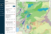
BGS GeoIndex viewer BETA receives new updates
Following the September launch of a new BGS GeoIndex Viewer BETA application for user testing, we have now released a new enhanced version based on initial stakeholder feedback.
New features include additional geological data layers, distance measuring tools and improved mobile experience. We would welcome further user feedback during this beta phase as we continue to develop this app as the long-term successor to our primary map viewer.
|
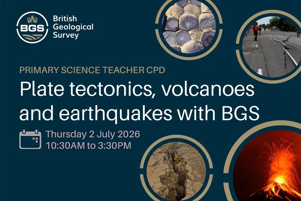 As part of our Public Engagement work, BGS is stepping up its continuing professional development (CPD) sessions for primary teachers – delivered from our London and Keyworth offices. If you’re a teacher following the National Curriculum in England or Wales and want to get to grips with rocks, fossils, mountains, volcanoes and other geology teaching in the primary curriculum, join us for a session of lessons and demos you can take straight into the classroom.
The following sessions are available, please click on the links to reserve your place:
|
|
|
|